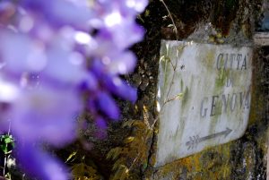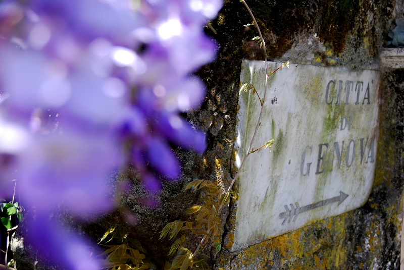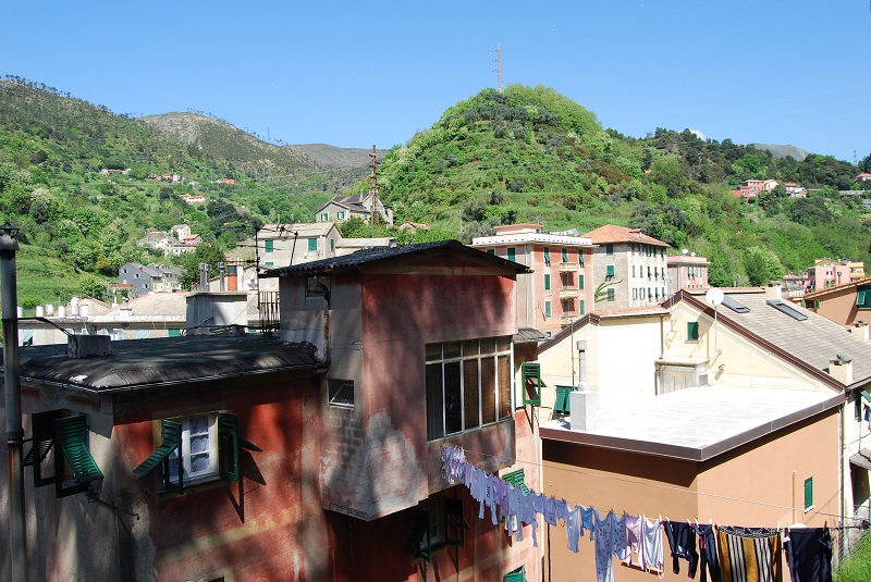
The Genoa airport is located in Sestri Ponente (go to the route 12) and from the airport, in addition to shopping and urban walks, you can reach the mountains of Sestri Ponente and its hiking trails. The Genoese district of Sestri is one of the largest and most populous in the city, but to reach the paths, starting for example from Via Sestri or Villa Rossi, it takes very little time.
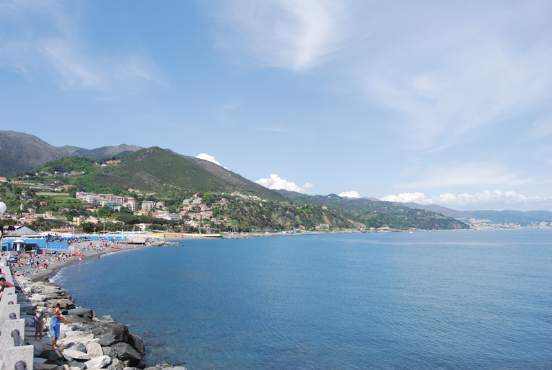
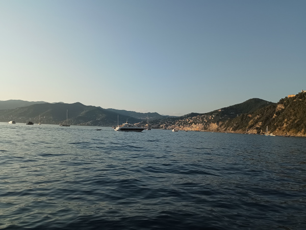
The best known in the area and the most popular is the path to the summit of Monte Gazzo (419 m). Take the number 172 bus to the hospital, then continue on foot as you take Via Domenico Oliva. Cross the railway, and the tar will make way for earth and stones as it turns into a path. The walk to the top of Monte Gazzo is not too tiring, but it is not very relaxing either, so be prepared. The mount, with its typical pointed shape and one side disembowelled after centuries of extractions, has a dominant position over the Sestri gulf. As you climb up to the top, it gives breathtaking views. You will see a mass of roofs and facades, the Cristoforo Colombo airport with its landing strip in the middle of the sea. You will capture the whole city in its length, from Nervi to Voltri, as far as Corsica on the sunniest days. When you reach the top, the balcony of the Nostra Signora del Gazzo sanctuary is an explosion of joy.
On the heights of Multedo, between Sestri and Pegli, stands the Hermitage of Sant’Alberto. The Hermitage can also be reached from the mountains with the Sestri Ponente hiking trails, from Gazzo taking the path to Monte Spassoja (437m) and continuing in the direction of Contessa, an area connecting with the paths of Val Varenna, one of the best areas in Genoa for trekking (check out the hiking paths). The path that reaches the small hamlet of Gneo also starts from Contessa and it descends into Val Varenna at San Carlo di Cese.
From the other bank of the Chiaravagna river, following via Chiaravagna to the end when the road takes the name of via Gneo, starts the hiking trails that climb up to the heights of Borzoli, a little more demanding, but the routes on the Borzoli mountains are ancient and fascinating. In these areas, the plateau of the Cassinelle Abbey is a point of reference for many hikers. From Cassinelle you can reach the Bric Teiolo (660m) and the Bric dei Corvi Sud and Nord. The “asósto path” which crosses the wooded area and descends to Murta, in Val Polcevera (go to the paths) connects to the path to Bric dei Corvi Nord. The route takes its name from the Asósto (shelter) of Bigiæ, an ancient stone building for the refreshment of travellers.

This article is for information purposes only. We cannot guarantee the effective accessibility of all trails