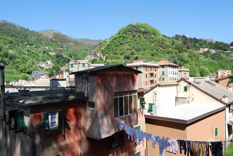
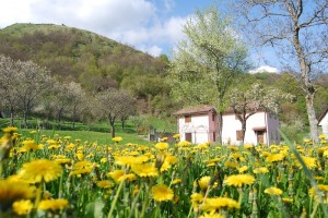
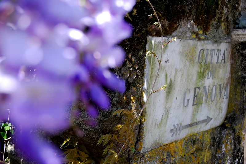
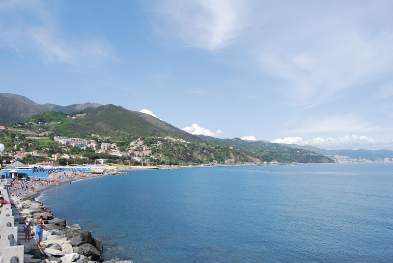
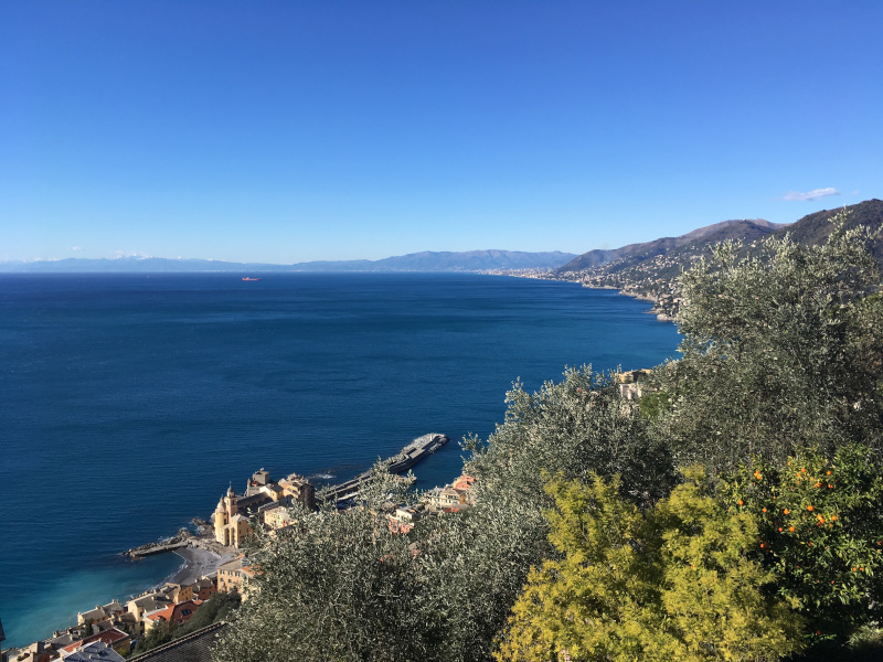
The Portofino Regional Natural Park (Parco Naturale Regionale di Portofino) offers lots of hiking trails (80 km) frequented by tourists from all over the world, characterized by breathtaking views, pine forests overlooking the sea, olive trees and typical Mediterranean fragrances. The park includes the municipalities of Camogli, Santa Margherita Ligure and Portofino and extends over 1500 hectares.
From Camogli to San Fruttuoso Abbey
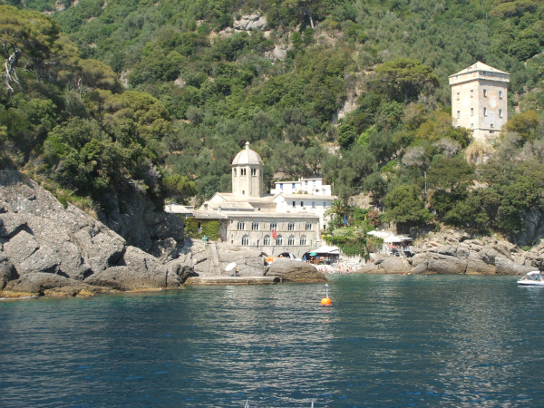
On the heights of Camogli, by car along the beautiful Ruta’s panoramic road or on foot from Camogli going up from via dei Cipressi / via di San Rocco, you reach the San Rocco church overlooking the sea, the starting point of a multitude of paths. From San Rocco you can easily reach Punta Chiappa (a descent of just over two kilometers to the sea, surrounded by nature and enchanting landscapes) and Toca (a slightly more demanding path that reaches 450 meters above sea level crossing olive groves, pine forests and a small hazelnut forest). The path to Toca passes through Forneli, an intersection point to reach the area known as the Batteries, from which starts the very difficult descent towards the San Fruttuoso Abbey, a rather dangerous route reserved exclusively for expert and equipped hikers. Fortunately, this is not the only path to reach San Fruttuoso. From the square of San Rocco, you can also walk in the direction of Portofino Vetta (an easy route lasting about 40 minutes, to enjoy a splendid view of the Golfo Paradiso and a small relax area equipped with tables and benches). From the “Vetta” you can go down to the San Fruttuoso Abbey passing through Pietre Strette (intersection point of the circular path that returns to the Vetta). The descent to San Fruttuoso in this case is not prohibitive and the destination is undoubtedly worth the effort. From the Vetta you can also take the path up to the ancient hamlet of Ruta from which the panoramic road takes its name or reach the Semaforo Vecchio Refuge (you can book here) at the highest point of the Portofino Promontory (610 m).
From Camogli to Portofino
The paths of the Portofino Promontory also connects the two main villages at the ends of the two sides: Camogli and Portofino. The path is easy, it is just over 6 km long and the journey takes about three hours. We have seen how to walk up from Camogli to San Rocco along the via di San Rocco between villas and olive groves, and from San Rocco how to walk up to the Vetta di Portofino. From here we continue towards Pietre Strette following the same path that leads from the Vetta to San Fruttuoso. From the intersection of Pietre Strette we continue towards Bocche / Crocetta / Olmi to go down to the village of Portofino (also from San Fruttuoso you can reach Portofino, Olmi is the intersection of the two paths).
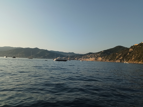
From Portofino to Santa Margherita Ligure
From the enchanting village of Portofino, take the path towards Olmi and from Olmi to the Mulino del Gassetta, an ancient mill restored and used as a refreshment point complete with sun loungers to relax after a packed lunch or breakfast. The path is easy and practicable for everyone, it winds up to Gave and from Gave to Nozarego among vegetable gardens and orchards and with a beautiful panoramic point halfway along the way. From Nozarego you can take a detour and get off at Paraggi to enjoy the beautiful beach and then continue along the panoramic road overlooking the sea up to Santa Margherita Ligure. Otherwise, from Nozarego the main path continues and reaches Santa Margherita in less than half an hour.

This article is for information purposes only. We cannot guarantee the effective accessibility of all trails